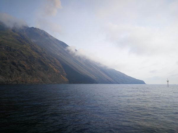
Figure 1: The buoy to measure wave heights of tsunamigenic flows in front of the Sciara del Fuoco flank, the most active slope of Stromboli Vulcano.
Irene Manzella, University of Twente
Pyroclastic Density Currents (PDCs) and landslides are among the most dangerous volcanic hazards. PDCs are fast flows of hot gas, particles and rocks that are generated by the collapse of the volcanic column during an explosive eruption. Landslides can reach several millions of cubic metres in volume and speed\ up to tens of Km/hours when propagating downslope steep volcanic flanks.
When these two phenomena happen in island volcanic settings, things get even more complicated. Once these large and fast masses of material reach the sea they can trigger a tsunami, a high wave that can be up to several meters high and travel for many kilometers far from the impact, potentially affecting large costal area. One of the most recent and catastrophic events of these kinds is the devastating 22 of December 2018 tsunami triggered by the flank collapse of the Anak Krakatau volcano and which caused more than 400 fatalities along the western Java and southern Sumatra coastlines (Linglin Ye et al, 2020).
The unpredictable nature of these events and the substantial risks they pose, raises the urgency for comprehensive understanding and mitigation strategies. The Eastern Caribbean or Lesser Antilles comprises a chain of volcanic islands, known as an ‘island arc,’ extending about 850 kilometers. It has 21 active volcanoes on 11 different islands (Lindsay et al., 2005). In this context it becomes evident that tsunamis generated by PDCs and landslides might threaten the Caribbean region, emphasizing the pressing need for regional risk assessment and preparedness in volcanic island environments.
In an effort to improve our understanding of tsunamigenic mass flows and the hazard they pose, together with a group of international experts, I have analysed these types of events in recent years at Stromboli Vulcano in the Aeolian Islands in Italy. Stromboli represents a natural laboratory as it is one of the most active and most monitored volcanoes in the world.
Over the years, it has witnessed numerous tsunamigenic flows. The dense monitoring system and the high frequency of smaller events allow us to analyse these events more in detail, being able to constrain initial conditions and dynamic of the process.
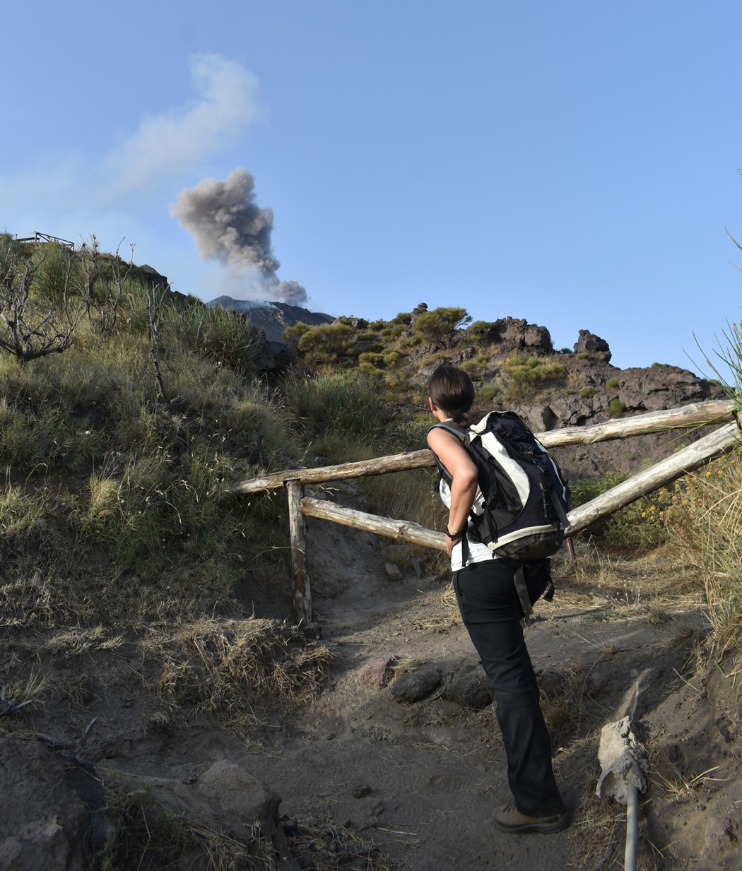
Figure 2: Irene Manzella observing an eruption at Stromboli Vulcano Italy in August 2021.
The work we are carrying out aims to gather more information about those mass movements to understand them better and increase community awareness and preparedness. We collected samples from several events to study the properties of the involved materials. We created detailed maps of both the above-water and underwater parts of the slope to link the size of the observed wave to the type of instability, the amount of material moved, and its characteristics (Di Traglia et al, 2022; Casalbore et al., 2022). By understanding the deposits and the features of the tsunami from videos and buoy data, we hope to figure out the conditions that cause those tsunamis. We also run computer simulations based on that data to assess useful parameters to be used to predict different scenarios. (Manzella et al, 2021).
Considering the potential for large eruptions and subsequent tsunamis in the Caribbean context, there is a clear imperative to address these risks in this region. Within the scope of the PARATUS project, which examines risks on Caribbean Islands, this research thus gains paramount significance. In conclusion, understanding tsunamis resulting from PDCs and landslides in volcanic island environments is crucial for safeguarding vulnerable coastal communities and consequently it demands immediate attention.
Reference
Casalbore, D., Di Traglia, F., Romagnoli, C., Favalli, M., Gracchi, T., Tacconi Stefanelli, C., Nolesini, T., Rossi, G., Del Soldato, M., Manzella, I., Cole, P., Casagli, N. and Chiocci, F.L. (2022) Integration of remote sensing and offshore geophysical data for monitoring the short-term morphological evolution of an active volcanic flank: a case study from Stromboli Island. Remote Sensing, 14(18), 4605; DOI
Di Traglia, F., Fornaciai, A., Casalbore, D., Favalli, M., Manzella, I., Romagnoli, C., Cole, P., Chiocci, F.L., Nolesini, T., and Casagli, N. (2022) Subaerial-submarine morphological changes at Stromboli volcano (Italy) induced by the 2019-2020 eruptive activity. Geomorphology: 108093
Lindsay, J.M., Robertson, R.E.A., Shepherd, J.B. & Ali, S. (eds) (2005). Volcanic Hazard Atlas of the Lesser Antilless. Seismic Research Unit, The University of the West Indies, Trinidad and Tobago, W.I.
Lingling Ye et al. (2020). The 22 December 2018 tsunami from flank collapse of Anak Krakatau volcano during eruption. Sci. Adv.6,eaaz1377 DOI:10.1126/sciadv.aaz1377
Manzella, I; Makris, S; Di Traglia, F; Kelfoun, K; Cole, P; Casalbore, D; Chiocci, FL; (2021) Numerical modelling of tsunamis generated by mass flows at Stromboli Volcano. EGU General Assembly Conference Abstracts, 2021